
MnDOT will be conducting aerial photography on Highways 2, 32 and 71.
Work will begin in mid-October on Highway 32 from Highway 2 to Sand Hill Road and on Highway 71 north of Bemidji from East Movil Lake Road to Turtle River.
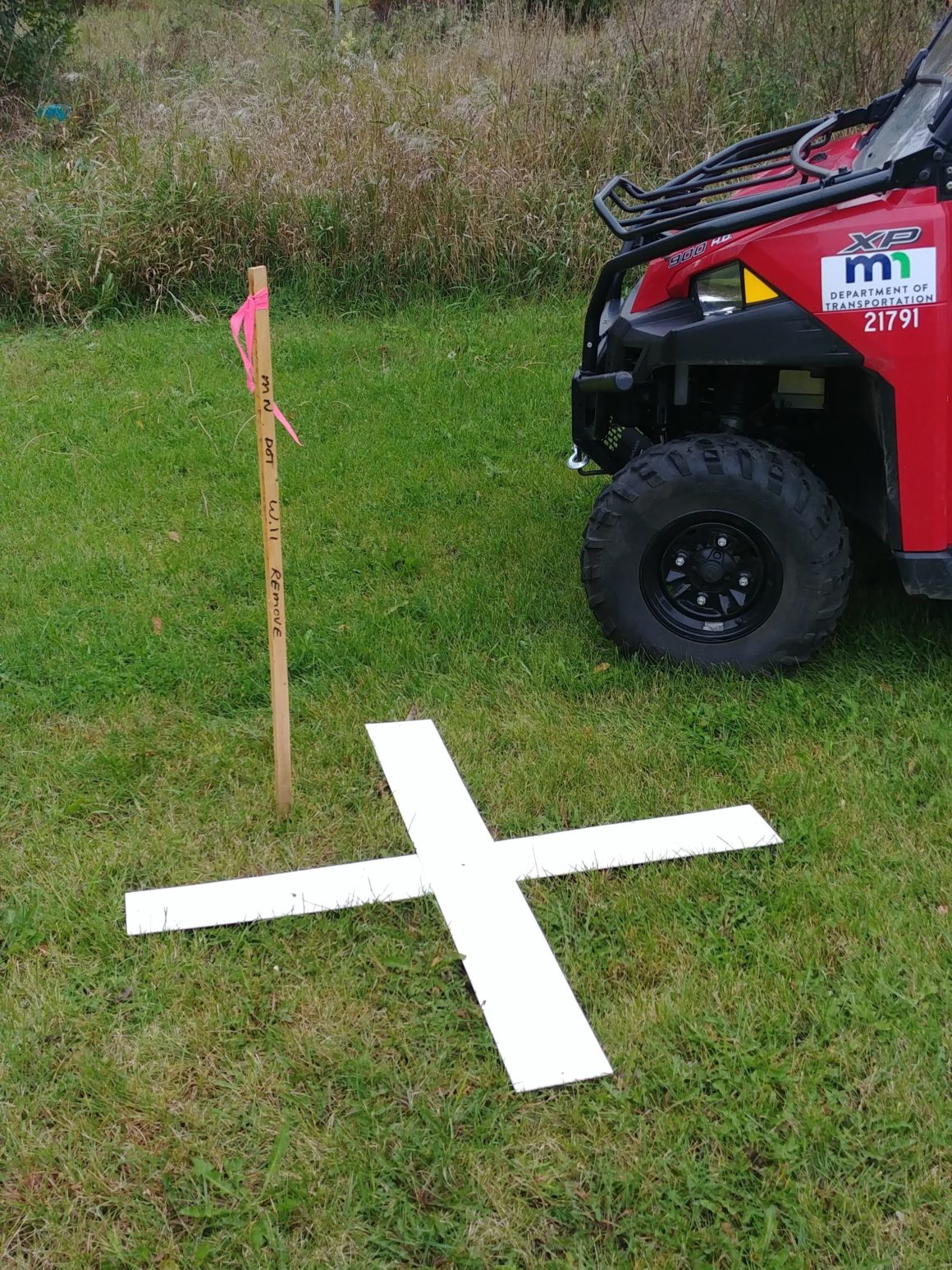
Crews place an “x” on the ground as a reference point for the aerial photographer.
Community members are asked not to disturb the markers, as this mapping must be conducted after the leaves fall and before it snows.
The plastic and fabric markers will be removed when the photography is completed.
These markers may be on paved and unpaved surfaces, as aerial mapping is used to create a record of existing infrastructure and right-of-way for transportation planning and highway designs.
